
Finding Roanoke Neighbors by Block
Public evidence about a Roanoke block begins with its shape, not a list of people. The city parcel map can show the selected lot, the polygons touching it, visible tax IDs, situs addresses, owner fields, and neighborhood or ZIP context. A parcel is the taxed piece of land shown on that map. The City Clerk supplies the ownership documents behind a parcel, while permits can add a separate timeline for work at a site. Each source answers a narrower question. An owner field is not proof of who occupies a building, and a mapped neighborhood is not a membership record.
| Source | What It Shows About a Block | Access |
|---|---|---|
| City GIS parcels | Adjacent polygons, tax IDs, situs, owner fields, neighborhood and ZIP context | Free viewer and parcel service |
| GIS zoning and overlays | Shared zoning, historic or design overlays, precinct and other geographic context | Public map layers |
| Roanoke City Clerk land records | Ownership chain, recorded instruments, plats, and legal descriptions for each lot | Public Records Room or secured remote access |
| eTRAKiT permits | Site, permit status, tax map, inspections, reviews, and work chronology | Public basic search |
| Neighborhood Organization layer | Organization that covers the shaded mapped area and city-linked contact information | City GIS workflow and links |
| Voter records | Individual status or a statute-limited list, never an open block roster | Self-service or qualified request |
For Roanoke neighbors, preserve the source label beside every fact. Parcel fields describe land and tax administration. Recorded instruments document transactions. A historical directory may place a name at an address for one publication year. None of those facts establishes every relationship within a block. That distinction also prevents a nearby owner, a former owner, and a current occupant from being treated as the same person.
Map Roanoke Neighbors Parcel by Parcel
Use the City of Roanoke GIS viewer for a reproducible parcel walk. First confirm that the address falls in the independent city, then enter its number and street name with the full NE, NW, SE, or SW suffix. Search results can be narrowed by tax number when an address is ambiguous. Open the matched parcel, use its map controls to zoom to the boundary, and record the displayed tax ID and full situs before moving outward. A situs is the physical location of the parcel, not a statement about a person.
- Select the address result and open the parcel detail or map popup.
- Turn on parcel boundaries, then click or browse the polygons immediately beside the selected parcel.
- Record each visible tax ID, full situs, and enabled layer separately, including a map date if the result will be revisited.
- Use each tax ID or legal description to locate its own deed trail and its own permit history.
- Keep touching parcels, the same street segment, the mapped neighborhood organization, and the same ZIP as separate map relationships.
The official Roanoke parcel service exposes the fields and geometry used for this kind of block review.
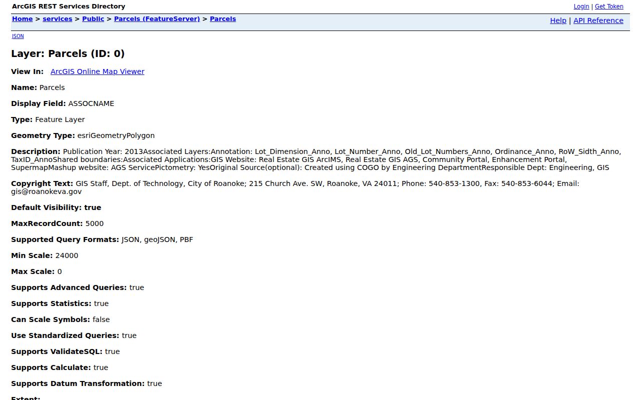
The parcel view is useful because a map can show the boundary and tax identifier before a records search begins. It still needs a separate document or permit check for each adjacent lot.
Roanoke’s captured GIS help does not document a verified buffer-radius workflow for neighbors. Use map adjacency instead of describing a mathematical radius or exporting a speculative ring of addresses. For a full named-street record trail rather than the immediate block, use the Roanoke street directory.
Roanoke Neighbors Need Jurisdiction Check
Roanoke city is an independent city. It maintains its own GIS, Clerk, courts, election locality, and public records room. Roanoke County is a different jurisdiction, with county government centered in Salem. A postal mailing address that says Roanoke cannot settle which office has the parcel or deed. Start with the city boundary and parcel polygon before assuming that a nearby block belongs to city records.
This geography matters when comparing neighbors across an edge. One parcel may route to the Roanoke City Clerk of Circuit Court while another address with a similar postal label routes to county offices. It also matters in the voter tool, where Roanoke City must be selected as the locality for a city registration. For old materials, keep the quadrant, cross street, legal description, and any boundary history in the notes instead of relying on a shortened mailing address.
Read Roanoke Neighbor Parcel Details
Once an adjacent polygon is selected, the useful fields are the tax ID, situs, owner field, owner mailing location, legal description, neighborhood, ZIP, and sale or transfer clues if displayed. The mailing location can belong to an off-site owner, trust, or agent. It is not evidence that the person lives at the parcel. A legal description is the recorded land identity, often a lot, block, subdivision, or metes-and-bounds description, and it becomes essential when an older deed omits a modern street address.
- Tax ID
- The seven-digit city tax-map number used to identify a parcel in city property records.
- Situs
- The physical parcel address used by GIS and permits.
- Legal description
- The deed or plat description that ties a lot to its recorded land identity.
For each Roanoke neighbor parcel, take the tax ID and legal description to the Clerk’s land-record route. The current RMS index begins in 1991, while Logan historic records bridge 1884 through 1997. Remote images have a subscription boundary, but the Clerk’s Public Records Room is a city access channel when an image is not available remotely. Search one lot at a time so an earlier owner or shared plat does not get assigned to the entire block.
The Roanoke eTRAKiT permit search supplies another address-based record trail, including permit, inspection, and review activity tied to a site.
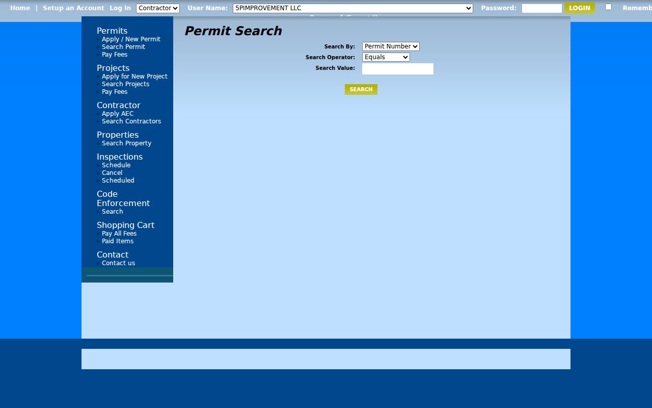
Permit history can date construction or a change at a parcel. It does not identify every person connected to that address.
Roanoke Neighborhood Organization Layer
The city’s neighborhood tool answers a civic geography question, not a household question. On the Roanoke neighborhood links page, search the street number and name, choose Layers, then Planning Layers, then Neighborhood Organization. The shaded area and its name identify the organization associated with that part of the map. The city page also leads to active organizations and their contact or meeting information, which can be useful for a community-history inquiry.
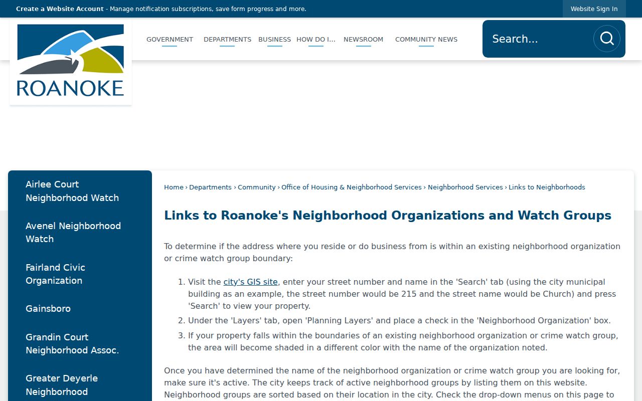
The shaded result gives a mapped organization name. It does not confirm a household’s participation, address, or permission to be contacted.
City neighborhood coordination
For help using the city organization layer, contact Molly Hunter at 540-853-6006, 215 Church Ave SW, Roanoke. City-listed availability is M-F, 8 a.m. to 5 p.m.
Use that city contact when the layer or organization link needs clarification. Ask an organization directly about meeting information or a historical question, rather than assuming it maintains a directory of Roanoke neighbors.
Roanoke Neighbor Groups Are Not Rosters
City neighborhood materials surface many distinct community organizations. The following names are examples from the city list and map materials, not a complete inventory or a claim that each group has the same access rules.
| City-surfaced organization | Useful block context |
|---|---|
| Gainsboro | Mapped community context |
| Grandin Court Neighborhood Association | City-linked organization information |
| Greater Deyerle Neighborhood Association | City-linked organization information |
| Raleigh Court Neighborhood Association | Mapped civic area with archival context |
| Old Southwest Inc. | City-surfaced neighborhood contact route |
| Melrose-Rugby Neighborhood Forum | City-surfaced neighborhood contact route |
| Mountain View Neighborhood Association | Mapped community context |
Membership and household rosters can be private. The map designation only identifies the organization covering an area, while each group decides whether it publishes contacts, meeting notices, or any directory. Raleigh Court also has a local archive connection: Virginia Room digital material includes Greater Raleigh Court Civic League records formed in 1978. That history can explain a civic name, but it does not establish present participation.
Roanoke Neighbors and Voter Rules
Virginia’s Voter Information Lookup is an individual status tool. Its workflow uses a person’s name, date of birth, last four Social Security digits, locality, and certification. It can offer status, address-update, polling-place, and voting-history actions for the proper person. It is not a public address-by-address way to query everyone near a selected parcel, and a voting history never reveals ballot choices.
Public voter lists have a separate statutory boundary under Virginia Code §§ 24.2-405 and 24.2-406. The SBE-407 process identifies qualifying requestors and permitted purposes, rather than opening a general block download. Protected data includes sensitive identifiers and protected-person addresses. A missing result can reflect privacy protections, an incorrect locality, a spelling or date mismatch, or a changed status. Treat voter information as a carefully limited confirmation record, never as a neighbors roster.
Historical Roanoke Neighbors by Address
For an older block, the Virginia Room provides Roanoke city directories from 1888 to the present, with gaps to check by year, plus phone books, Sanborn maps, newspaper microfilm, and local indexes. Begin with the full address and directional suffix. In a reverse or criss-cross section, read the nearby address entries on the same page, then check the named section and the publication year. An old directory is a dated snapshot, not a complete account of every household.
Pair the directory page with a Sanborn sheet for footprint, lot, and street context, then compare the address with a deed or parcel legal description. The Roanoke directory book has the collection and access details for that historical work. The Virginia Room and Library of Virginia are the fallback channels when a digital index ends or a print volume must be checked in person.
Official and Compiled Roanoke Neighbor Sources
Official sources keep the block tied to a custodian and a date. The GIS viewer supplies parcel geometry and property fields, the Clerk holds recorded instruments, eTRAKiT holds permit activity, and the city neighborhood layer supplies civic coverage. Commercial compiled sources can combine public data, but their results may be stale, merged, or detached from the underlying record. Use the official source to confirm the specific field that matters.
| Source category | Best use | Key limit |
|---|---|---|
| Official city and Clerk records | Confirm parcel, document, permit, or mapped organization details | Each record has its own coverage and access channel |
| Commercial compiled records | Possible starting lead to verify independently | May be stale, merged, or incomplete |
Keep the selected parcel, visible tax IDs, search date, and document reference in a private research note. That makes the result repeatable without publishing an unsolicited block list.
Roanoke Neighbor Safety and ACP
The Virginia Address Confidentiality Program is a real safety boundary for neighbor research. Eligible survivors of domestic violence, stalking, sexual violence, child abduction, or human trafficking can receive a substitute mailing address through a local victim-service program. State and local agencies accept that substitute address, and the actual physical address is restricted to designated staff and law enforcement. Its purpose is safety, not a gap to work around with another database.
ACP certification lasts three years and includes First-Class mail forwarding. The program is not retroactive, and separate protected-voter procedures can also apply. In a block review, an omitted or substituted address should be left alone. It cannot fairly support an inference about whether a person is present, absent, or connected to a nearby parcel.
Privacy Boundaries for Roanoke Neighbors
Some block information is intentionally outside public access. Utility and delivery records are not part of this map method. Virginia also restricts DMV address data and limits voter-list access. ACP participation and other protected-person procedures can result in an omitted or substituted address. A missing address can be a safety protection, not an error to overcome.
Lawful use. Use public records for personal, lawful research and civic curiosity. Do not use a Roanoke neighbor search to stalk, harass, intimidate, or harm anyone; Virginia law prohibits stalking conduct that creates a reasonable fear of harm.
The Virginia Consumer Data Protection Act gives consumers certain rights concerning covered personal data, but it does not promise removal of a certified public record. Ask the record custodian about a correction or protected-person process, and avoid republishing personal identifiers that are not needed to understand a parcel or civic boundary.