
Trace a Roanoke Street by Address
Use a street-by-street search as a record trail, not as a list of everyone connected to a block. Roanoke is an independent city, so an address with a Roanoke postal label still needs a city-parcel check before it is sent to the City Clerk or a county office. The City GIS is the useful starting point because it ties a physical site to a tax identifier and legal description. From there, permits, deeds, and historical address directories supply different kinds of evidence. Save the exact spelling and directional suffix at every step.
- Write the whole address first. Keep the number, street name, and NE, NW, SE, or SW suffix together. In Roanoke, the suffix can distinguish one repeated street number from another, so dropping it can lead to a different segment or no match.
- Search the City of Roanoke GIS viewer. Confirm that the displayed parcel falls inside the independent city. Use the parcel detail as the starting record, rather than treating the mailing city on an envelope as proof of jurisdiction.
- Log the tax ID, situs, and owner field. The situs is the physical parcel address. The owner field and mailing address describe the property record, while the legal description and tax ID give the sturdier links for later land-record work.
- Check eTRAKiT parcel records for the same site. Parcel and permit material can expose land-use, building, restriction, inspection, review, and address history fields. It is site evidence, not a complete household record.
- Follow the Clerk’s deed chain. Use the owner name and legal description to locate the latest instrument, then work from grantee to an earlier grantor. Record the document number or book and page, date, and any plat or prior-deed reference.
- Use voter status only when authorized, then check old directories. Virginia’s public voter tool is an individual self-service lookup, not a street roster. For historic address evidence, use the Virginia Room’s directory and criss-cross material after the parcel chain has narrowed the address.
That sequence preserves what each source actually establishes. It avoids turning an owner field, an old directory entry, or a permitted voter result into an unsupported claim about every person at the address.
Keep Roanoke Street Quadrants Intact
Roanoke’s address pattern has a local history that matters in a modern search. The 1907 plan describes east-west avenues and numbered north-south streets, with Jefferson Street and the Norfolk & Western railway dividing NE, NW, SE, and SW quarters. Repeated street numbers rely on those directional suffixes. Enter the full suffix in GIS, eTRAKiT, a deed note, and a directory transcription. A shortened address can look plausible while pointing to the wrong place.
The same caution applies to older documents. The city charter collects annexation orders from 1964, 1966, 1967, and 1975/76, which can affect the administrative context of an older instrument. Research did not locate a verified citywide renumbering or readdressing date. When an old label seems unfamiliar, compare the quadrant, cross street, plat, legal description, and parcel rather than inventing a conversion year. This is the geographic part of a Roanoke address search.
Note: A Roanoke mailing address can also belong to adjacent Roanoke County, whose records generally route through Salem rather than the city offices.
Search Roanoke Streets in City GIS
The city’s GIS viewer supports an address-first approach and also supports a wider street browse. A street name alone can return parcels on that street; a number alone returns addresses beginning with that value. Map selection can then show the parcel polygons near a known site. Large API results can be capped at 5,000, so narrow a broad search by quadrant, ZIP, street, or tax ID and paginate where needed. The city says real-estate data refreshes nightly, while mapping updates as needed.
The GIS basic-search facts below come from the city help material. They are deliberately limited to the fields documented there. The advanced-search controls can refine a result, but the captured material did not verify the complete set of advanced choices.
| GIS field | Format or documented use |
|---|---|
| Owner Name | Last name then first name/initial. |
| Street Number | Street number. |
| Street Name | Street name omitting St/Ave/Rd/Ln. |
| Tax Number | Partial/full seven-digit tax # autocomplete. |
| Advanced Search | Advanced incomplete. |
| Search/Clear | Search/Clear. |
The map also exposes parcel, ZIP, neighborhood, planning, zoning, utility, and other layers. Layers may depend on map scale, so a missing overlay is not proof that the underlying record is absent.
See the Roanoke GIS viewer before using the parcel fields below.
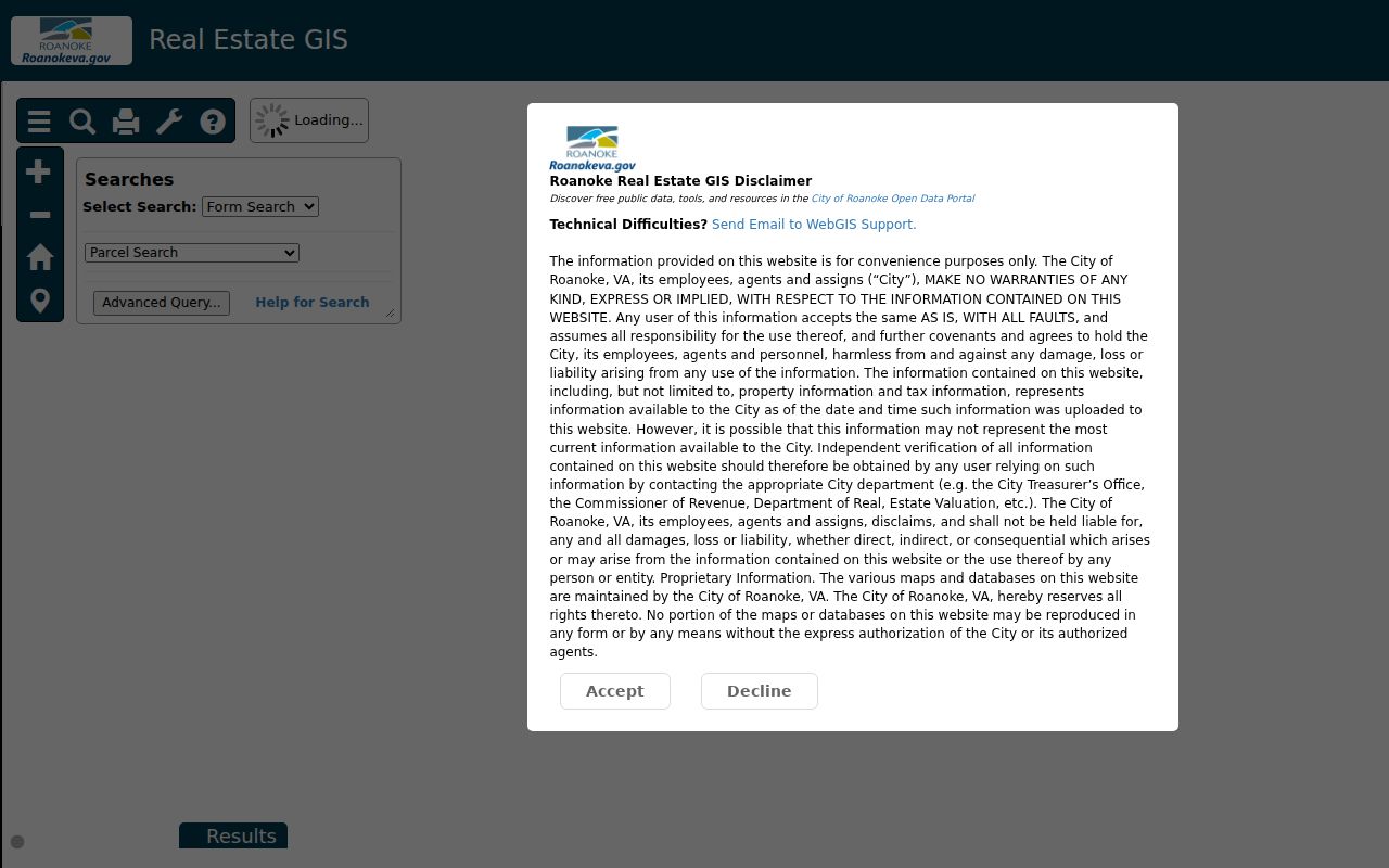
The viewer is the practical bridge between a typed street address and a parcel-specific record trail.
Use Roanoke Parcels as the Anchor
A parcel is the mapped piece of land associated with a tax record. It is more stable than an informal description of a house, but it is not a list of people. Roanoke GIS records can show owner and owner2, owner mailing information, situs, tax ID, legal description, acreage, zoning, land and total value, sale dates and amounts, grantors, document numbers, neighborhood, association, ZIP, and assessment fields. The tax ID is a seven-digit city tax-map number, and the legal description can preserve a lot, block, subdivision, or metes-and-bounds identity when a street label changes.
- Parcel
- A mapped land unit connected to a tax record and a tax ID.
- Situs address
- The physical parcel or building address used by GIS and permit records.
- Plat
- A recorded map that can show lot lines, subdivisions, streets, or an older tract arrangement.
- Criss-cross directory
- A reverse address section that helps move from a street address to an historical listing.
Owner mailing data can point away from the parcel, such as to an agent, trust, or address outside the city. It should never be used as a shortcut to infer who is physically present on the street.
Roanoke Street Permits and Code Clues
After a GIS match, eTRAKiT gives the address search a separate property-history layer. Its public parcel search can show owner information, land use, building details, restrictions, legal description, and inspections. Permit results can add permit dates and status, site and tax-map details, contacts, fees, inspection results, and review history. The inspected city sample shows that a record may also display zoning and neighborhood context. Those fields describe a permit record, not current residency.
The eTRAKiT parcel search is the appropriate entry point for a parcel number or address. For code enforcement, the city documents a CRM request route and 11 operational code-enforcement zones. The captured research did not verify public case-search fields for code cases, so the request or office channel is the honest fallback rather than a claimed online search.
Here is the city eTRAKiT parcel interface used to connect a street address with permit and inspection context.
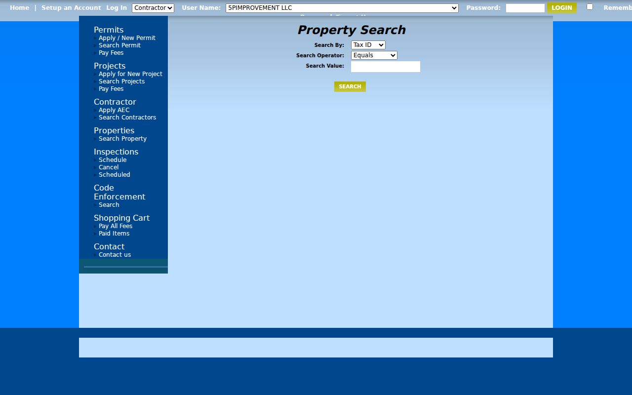
Use the parcel and permit tabs to date work on the site, while keeping the tax ID and full situs in the research log.
Compare Roanoke Street Records
Address-keyed records overlap, but they do not duplicate one another. The coverage below separates the city’s GIS evidence from land records, permits, zoning, and historical directory evidence. This makes it easier to choose a source based on the question at hand: parcel identity, ownership chain, construction activity, land-use setting, or a past address listing.
| Address record | Keeper | What it can show | Access channel |
|---|---|---|---|
| GIS parcel | City GIS | Tax ID, owner, situs and mailing fields, values, sales, legal description, neighborhood and ZIP | Free viewer or parcel API; nightly real-estate refresh |
| Deed index and image | Roanoke City Clerk, SRA, and Logan | Grantor, grantee, instrument, recording date, legal description, and linked image where available | Public records room; remote SRA images require subscription |
| eTRAKiT parcel | City permits and land management | Owner field, land use, building, restrictions, legal description, and inspections | Public basic search; account for some actions |
| Permits and code | City Inspections and Code | Permit status, site, tax map, reviews, inspections, and address complaint or enforcement activity | Public permit search; CRM request for code route |
| Zoning layers | City Planning and GIS | Zoning, overlays, historic districts, and design or sign overlays | Public GIS layers |
| City directory | Virginia Room | Historical address listing, occupation, spouse, and owner or occupant clues | In room; directory run begins in 1888 with gaps |
Link a parcel to a deed with the tax ID and legal description, not just the visible street name. That is especially useful when a lot changed shape or an older instrument names a tract rather than a current address.
Follow a Roanoke Street Deed Chain
The current owner and legal description lead to the latest purchase deed. A grantor conveys an interest and a grantee receives it. Read those parties, the recording date, consideration if shown, legal description, instrument number or book and page, and references to prior deeds, plats, easements, or deeds of trust. Search the prior owner as grantee to locate that earlier purchase, then repeat. In an older deed without the modern street address, the lot and block, acreage, adjoining owners, road intersection, and plat are the workable substitutes.
Roanoke’s Secured Remote Access information distinguishes the historic and current land-record systems. Logan provides land records, index, and images from 1884 to 1997. RMS indexing begins September 3, 1991, and RMS images begin September 3, 1997. The overlapping dates do not mean a web image is free: remote image access is subscription-gated, while the public room remains the key public search channel.
The Clerk’s SRA information documents the remote land-record coverage and the boundary between online access and public-room research.
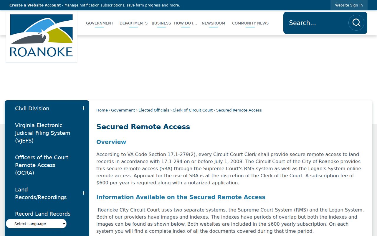
When the image needed for a street parcel is not remotely available, preserve the index citation and take it to the Clerk’s public room.
Note: The city Clerk lists a $0.50 per-page plus $2 certification rule for a certified historical deed; confirm current charges for unusual instruments.
Use Roanoke’s Public Records Room
Street research does not end when a remote portal stops. The Roanoke public records room offers the city’s land, court, marriage, probate, will, judgment, financing-statement, and related access channels during weekday service. It connects paper-era books, microfilm, Logan material, RMS indexing, public terminals, and certified-copy requests. For an address trail, it is the practical fallback for an older volume, a gated image, or a deed reference that needs to be read in context.
The Library of Virginia’s Roanoke city microfilm guide is another channel for historical deeds and court-related local records. Its listings do not mean every original is in Richmond. Originals may remain with local custodians, and microfilm or interlibrary availability varies. Note the source, volume, and access route separately so a record found through an index is not confused with a certified copy.
Read Roanoke Street Directories Historically
For an address before a modern parcel interface, the Virginia Room provides the city-directory spine: Roanoke City Directories from 1888 to the present, with gaps. A criss-cross or reverse section can move from an address to an historical listing, then the name section can provide the context printed for that year. A listing can offer an address, occupation, spouse notation, and owner or occupant clue. It is a dated publication record, not proof of title or a complete count of everyone at the site.
The Roanoke Directory Book has the collection-focused route for directory years, publishers, and reader-room practices. Here, use that material only to test an address trail after the street, quadrant, and parcel evidence have been logged.
Respect Roanoke Street Search Limits
A street directory cannot reveal every person connected with a property. GIS owner and mailing fields are property data. Permit records describe work tied to a site. Historical directories reflect their publication date and conventions. Virginia DMV address data is restricted, and protected voter or Address Confidentiality Program records can suppress or substitute an address. A missing result may reflect protection, an incorrect locality, a name mismatch, or a record that is not public, not a conclusion about a person.
The Virginia voter information lookup requires first name, last name, date of birth, locality, and certification for an individual workflow. Select Roanoke City for a city registration. It does not provide a public street-by-street roster. Voter-list access is limited by Virginia Code §§ 24.2-405 and 24.2-406 to statutory requestors and permitted uses.
Lawful personal use. Use Roanoke address records for personal research, family history, property questions, or civic understanding. Do not use records to stalk, harass, intimidate, or harm anyone.