
Roanoke Previous Residents Sources
A Roanoke address has no single master list of past residents. The land trail begins at the City Clerk of Circuit Court, while the occupant trail runs through the Virginia Room's directories, phone books, maps, newspapers, and indexes. Choose the source based on the period and the question. A deed establishes a recorded transfer; a directory can show a listed occupant; a census places a household at one point in time.
| Source | Years It Covers | Where Held | What It Shows |
|---|---|---|---|
| Logan land index and books | 1884-1997 | Roanoke City Clerk / public records room | Historic deeds, wills, plats, and related books |
| RMS land index | 1991-09-03-present | Roanoke City Clerk / SRA | Current land-record index, overlapping Logan |
| RMS land images | 1997-09-03-present | SRA remotely or public records room | Recorded-image access for the applicable period |
| Roanoke city directories | 1888-present, with gaps | Virginia Room | Listed occupants, addresses, occupation, spouse, owner-renter clues |
| Phone directories | 1916-2008 | Virginia Room | Subscriber and address clues |
| Sanborn maps | 1898, 1903, 1907, 1919, 1955 | Virginia Room / Digital Sanborn via Salem | Footprint, use, lot, and block context |
| Federal census | Decennial through 1950 | National Archives and library databases | Household, relationship, age, and occupation at census date |
| Obituary index | 1923-65 segmented; limited 1890 material | Virginia Room digital collection | Death endpoints, relatives, residence, and funeral clues |
Current permits are also useful for construction and alteration dates, but no verified citywide historical permit cutoff was found. Use a permit's date as evidence about the work, not proof that the named contact lived at the property.
Roanoke Address Identity First
Preserve today's full situs address before moving backward. The City of Roanoke GIS can search by owner name, street number, street name, or tax number. Its parcel details can supply the tax ID, legal description, sale information, grantors, document numbers, and parcel geometry. A mailing address is not a situs address, and neither one proves occupancy.
Write down the NE, NW, SE, or SW suffix exactly as shown. Roanoke's 1907 street plan describes quarters divided by Jefferson Street and the Norfolk & Western railway, with repeated numbered streets. No official citywide renumbering date was located. When a historic label does not fit a current address, carry the cross street, plat, legal description, tax ID, and parcel shape forward rather than inventing a conversion date.
For a current parcel check, use the City of Roanoke GIS property viewer. Record a dated result because the city reports nightly real-estate updates.
Roanoke Deed Chain Steps
Roanoke city deeds belong with the Roanoke City Clerk of Circuit Court / Land Records, not the adjacent Roanoke County offices in Salem. Work backward from the newest recorded transfer. Each deed can point to the preceding instrument through a name, legal description, book and page, document number, plat, or reference to an earlier deed.
- Save the GIS parcel's current owner, tax ID, situs, and legal description.
- Find the current owner's purchase deed in the Clerk's index and record its date, grantor, grantee, book or document number, consideration if shown, and referenced plat.
- Search the seller from that deed as a grantee to locate the seller's earlier purchase.
- Repeat the grantor-to-prior-grantee pattern, keeping each link and date in one worksheet.
- When a digital result ends, request the applicable book, microfilm, or image through the public records room or the Library of Virginia.
- Grantor
- The person or entity transferring an interest in a recorded instrument.
- Grantee
- The person or entity receiving that interest. The prior owner is often found by searching that person as grantee in an earlier deed.
- Chain of title
- A dated sequence of recorded transfers for the same land, not a list of everyone who lived there.
- Legal description
- The lot, plat, boundary, or other land description that can connect records when a street label changes.
Recorded title and occupancy can diverge. A transfer to an executor or trust may not change the listed household, while a renter can appear in a directory without appearing in the deed chain.
Roanoke Logan and RMS Access
The Roanoke land-record timeline overlaps. Logan land records, index, and images reach from 1884 through 1997. RMS indexing begins 1991-09-03, and RMS images begin 1997-09-03. The 1991 RMS date is not the beginning of Roanoke deeds. Historic deed books and Library of Virginia microfilm should be checked by volume when a needed link predates the portal range or falls in an unavailable volume.
Remote images use the Supreme Court of Virginia Secured Remote Access arrangement and require the Clerk-approved subscription, listed by the city at $600 per year plus a notarized application. The free alternative is the City Clerk's public records room, open Monday through Friday, 8 a.m.-4 p.m., except holidays. It provides in-person searching; copies are $0.50 per page and certification adds $2 to the document. Confirm current fees for unusual requests.
Review the Virginia SRA/RIS portal before choosing the remote route.
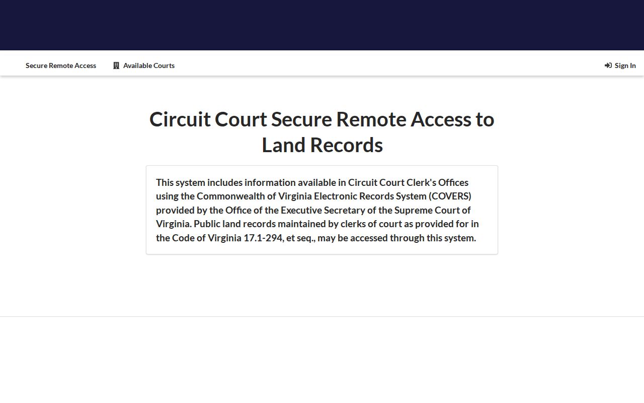
The SRA/RIS portal is a controlled remote-access service. It does not turn the Clerk's index into a free image archive, and the public counter remains the route for in-person inspection.
Roanoke Previous Residents by Year
Once the deed chain gives dates and names, use city directories to find who was listed at the address. The Virginia Room holds Roanoke City Directories from 1888 to the present with gaps and phone books from 1916-2008. A criss-cross section lists an address in street order, while the name section may add occupation, spouse, alternate address, or a “removed to” clue. Pair both views before deciding that a name belongs to the property.
Census schedules add a household-level check. The public federal census run currently extends through 1950 under the 72-year rule. A directory may list one adult or subscriber, whereas a census records household members on its census date. Neither is a substitute for the other.
- Match the deed date to the nearest directory year and record the address exactly as printed.
- Compare the same surname in the name section and the address section.
- Match that period to the closest released census schedule, then compare household relationships and location.
- Mark a result as owner, occupant, subscriber, or household member rather than collapsing those roles.
The Roanoke city directory collections provide the shelf details, publisher clues, and entry-reading rules for that part of the trail.
Roanoke House History Sources
The Virginia Room's house-history guide is a local checklist for directories, phone books, Sanborn maps, newspapers, photographs, deeds, and tax context. It is useful when the name is unknown but the house is known. The room is non-circulating at 706 S Jefferson Street, so bring the exact address, a likely time range, and the parcel details already gathered.
See the Library of Virginia Roanoke city records listing for deeds, court material, marriage records, and microfilm record groups.
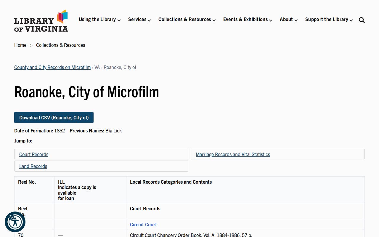
Library of Virginia listings supply a second route when an original book, a specific microfilm reel, or a local record group is needed beyond the Virginia Room's directory and map holdings.
Roanoke Sanborn Map Context
Sanborn maps help establish the physical history of the lot. The verified Roanoke print years are 1898, 1903, 1907, 1919, and 1955. Compare the footprint, lot, nearby structures, and street intersection with the current parcel map. A map can help show that a house, addition, or lot configuration matches an older description even when the street label is uncertain.
Sanborn labels are map evidence, not proof of a resident. Use them to date the building context, then return to the directory, census, deed, permit, or newspaper source for people. An eTRAKiT permit can similarly date construction or alteration, but the public portal's historical cutoff has not been verified.
Roanoke Past Resident Endpoints
When a listed person disappears, search the segmented Roanoke Times obituary index, cemetery and interment sources, probate or will records, and the next deed. The obituary material covers 1923-50, 1951-54 with gaps, 1955-59, and 1960-65, with limited 1890 newspaper material. An index hit may point to a newspaper date or family connection, but it does not replace the underlying page or a vital certificate.
For Roanoke, the public records room, Virginia Room, and Library of Virginia form a practical three-channel fallback. The Clerk supplies the recorded instrument or certified copy. The Virginia Room selects a directory, map, newspaper, or photograph source. The Library of Virginia identifies the historic record group. Preserve which channel produced each fact.
Lawful personal research. Previous-resident work is appropriate for family history, house history, heirs, and civic curiosity. Virginia's stalking law, Va. Code §18.2-60.3, prohibits repeated conduct intended or known to cause reasonable fear; do not use records to track, harass, or harm a living person.
Limits on Roanoke Previous Residents
A property history is a set of dated records, not a definitive list of people who lived there. Directories can omit a person because of publication practices, spelling, a move between print dates, or historic exclusion. A deed can identify an owner who lived elsewhere. A parcel may have been subdivided or consolidated, making an old legal description and a modern tax ID far from one-to-one.
Keep “not searched,” “no entry,” and “volume unavailable” as different results. That simple distinction avoids turning a gap in the records into a conclusion about a person or household. Virginia FOIA, Va. Code §2.2-3704, supports access to public records held by the city, but it does not override protected vital, juvenile, confidential, or otherwise exempt information.