
Read the Roanoke ZIP Code Directory
The City of Roanoke GIS ZIP layer visibly identifies nine city codes, 24011 through 24019. The area descriptions here are careful directional readings of city mapping. They are not postal neighborhood names, city wards, voting precincts, or legal boundaries. The post-office column uses the documented USPS preferred-city grouping, not a claim about a particular retail postal station. Check a parcel polygon when the city or county question affects which records office should be used.
| ZIP | Areas Covered | Post Office | Notes |
|---|---|---|---|
| 24011 | Downtown, core, and central city areas | ROANOKE VA 24011 group | Postal city label is not municipal proof. |
| 24012 | Northeast and north city areas | ROANOKE VA 24011 group | Directional city-map reading, not a neighborhood boundary. |
| 24013 | East and southeast city areas | ROANOKE VA 24011 group | Verify the delivery address with USPS and GIS. |
| 24014 | Southeast and south city areas | ROANOKE VA 24011 group | Parcel GIS answers city or county edge questions. |
| 24015 | Southwest and central-south city areas | ROANOKE VA 24015 group | The postal group is broader than city limits. |
| 24016 | Central and west city areas | ROANOKE VA 24011 group | Do not infer city boundary from the preferred city. |
| 24017 | Northwest and central-west city areas | ROANOKE VA 24015 group | Use quadrant, street, and parcel together. |
| 24018 | South, southwest, and county-edge areas | ROANOKE VA 24018 group | Strong potential for city and county postal mismatch. |
| 24019 | North, northwest, and county-edge areas | ROANOKE VA 24015 group | A city ZIP can include addresses outside the city; parcel controls. |
The USPS preferred-city list groups 24011, 24012, 24013, 24014, and 24016 under ROANOKE VA 24011. It groups 24015, 24017, 24019, and 24020 under ROANOKE VA 24015, while 24018 has its own ROANOKE VA 24018 group. The additional 24020 grouping does not make it one of the nine codes shown by the city layer.
Separate Roanoke ZIP Codes From Jurisdiction
“Roanoke, VA” has at least three useful meanings in an address search: the independent city, the adjacent county and Salem region, and a preferred postal city. The city became independent in 1884 and maintains its own Clerk, courts, GIS, elections, and public records room. County records follow a different jurisdictional route. A Roanoke mailing label alone cannot choose between them, even when the ZIP appears on a city-facing map.
The strongest check has two parts. Use USPS to confirm the formatted delivery address, then use the city GIS parcel polygon, tax ID, and Clerk locality to determine city jurisdiction. This is especially important at the edges of 24018 and 24019. Their postal geography can reach beyond what a reader might assume from the city name.
Parcel first for jurisdiction. A ZIP is postal delivery geography; the GIS parcel polygon controls the city or county question for a Roanoke address.
Verify a Roanoke Postal Code With USPS
Use the official USPS tool to test the delivery side of an address before using a city record portal. The tool has distinct modes, and each needs a different starting value. Its result can standardize a delivery address or return a postal code, but USPS expressly says the result does not confirm that a particular person or company is at the address. Treat it as address-format evidence, not a resident record.
| USPS lookup mode | What to enter | What it checks |
|---|---|---|
| Find by Address | Street address, city, and state | Formatted delivery address and ZIP result |
| Find by City and State | Postal city and state | ZIPs associated with that postal city |
| Find Cities by ZIP Code | ZIP | Postal city information for the entered code |
Use the USPS postal lookup for the delivery check.
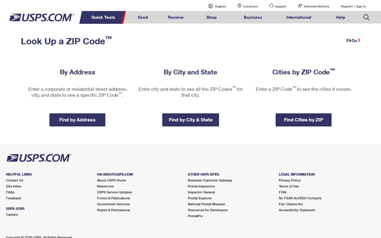
Once the address is standardized, the city GIS supplies the separate parcel and jurisdiction check.
Map Roanoke ZIP Polygons in GIS
Roanoke’s GIS has the local map layer needed after a USPS result. The public ZIP-code service exposes the city ZIP polygons, and the parcel service carries a MAINZIPCOD field. Basic GIS help did not expose ZIP as a basic search field. Use the ZIP layer, the map service, or an advanced query rather than promising a basic ZIP box that the captured material does not document. A ZIP-wide query can return many parcels, so retain the city boundary and parcel geometry when reviewing edge results.
| City GIS element | Documented role | Careful use |
|---|---|---|
| ZIP polygons | Shows the city’s visible ZIP-code geography | Use for broad map context, not a legal boundary. |
| MAINZIPCOD | Parcel-service ZIP attribute | Pair it with parcel geometry and city boundary. |
| Parcel tax ID | Seven-digit city tax-map anchor | Carry it to the deed and land-record trail. |
| Advanced query or API | Route when basic GIS lacks a ZIP field | Subdivide or paginate a large result set. |
The City GIS ZIP-code layer is the source for the local polygon context.
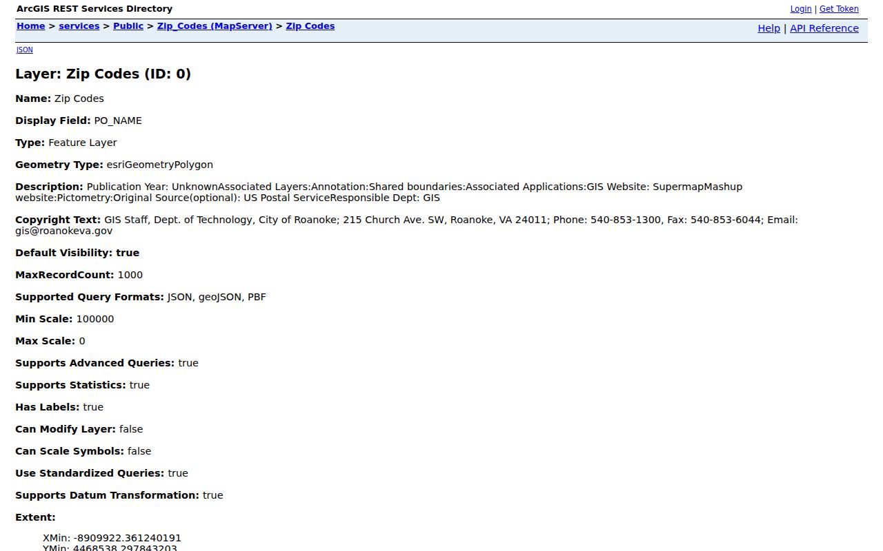
The service supports a map-based ZIP review, then individual parcel records provide the address-specific evidence.
Move From a Roanoke ZIP to Parcels
A postal directory can narrow a search, but it should not produce a speculative list of people. Work from delivery confirmation to city geography and then to a single parcel. That sequence is reproducible and respects the fact that postal coverage, ownership, and individual residency are different records.
- Confirm the formatted address with USPS. Use address, city, and state when the full delivery address is known. Record the returned ZIP without treating it as proof of a person at the site.
- Open the city ZIP polygon and parcel map. Check that the site’s parcel falls within Roanoke city when city records are needed. For an edge address, inspect the boundary instead of relying on the postal city.
- Capture the parcel’s MAINZIPCOD, tax ID, and situs. The tax ID and situs establish the city parcel reference. The legal description can help if the street label differs in an older instrument.
- Use the parcel trail for a named street. Once a ZIP narrows the area, the Roanoke Street Directory supplies the address-level GIS, eTRAKiT, deed, and historical-directory workflow.
- Keep records within their limits. The voter portal uses locality, not ZIP. eTRAKiT results display city, state, and ZIP, but research did not verify an exact ZIP-result filter, so do not assume it performs a ZIP-wide search.
Note: A ZIP-wide parcel query can exceed a service record cap, so divide it by street or another documented map constraint and preserve the method used.
Compare Roanoke ZIP Codes and City Limits
ZIP boundaries and the City of Roanoke boundary solve different problems. A postal ZIP is designed for delivery and processing. A municipal boundary determines which city Clerk, court, GIS system, and records room govern a parcel. The city ZIP layer includes 24011 through 24019, but the USPS preferred-city groupings can also include non-city ZIPs. This is why a broad Roanoke postal assignment cannot decide where a deed or court search belongs.
For a disputed address, compare four items: the USPS-formatted delivery address, the city parcel polygon, the seven-digit tax ID, and the Clerk jurisdiction. If one of them disagrees, record the discrepancy and search the relevant custodian rather than forcing all evidence into one city label.
Define Roanoke Postal Terms
Postal and land-record labels look similar on a screen but mean different things. Recording each one separately prevents an old address note or a tax mailing record from becoming a false location match.
- ZIP
- A postal delivery and processing geography, not a city or county boundary.
- ZIP+4
- An added delivery segment used to narrow a ZIP to a more precise postal destination.
- PO-box ZIP
- A code used for post-office box delivery rather than a claim about a physical parcel.
- Carrier route
- A mail-delivery route that can appear in postal data and is not a resident roster.
- Situs address
- The physical parcel or building address used by GIS and permits.
- Legal description
- The recorded land identity, such as a lot and block or metes and bounds, used in deeds and plats.
Use Roanoke ZIP Geography Carefully
Directional labels are useful for organizing notes, especially when a family address, old photograph, or postal record has only a broad location. The city map supports readings such as central city, northeast, southwest, or county edge. It does not convert a ZIP into a neighborhood, school zone, utility area, voting precinct, or civic association. Those are separate GIS layers with separate purposes.
Roanoke’s quadrant system adds another geographic check. NE, NW, SE, and SW are part of the street address, and repeated numbered streets use them to distinguish locations. When an old directory does not show a modern ZIP, bridge the record with the directory year, full street quadrant, cross street, parcel, and legal description. Do not attach a modern postal boundary to a historical address without confirming the site.
Use Roanoke ZIP Codes for Family Addresses
For family history or a reunion of an old address trail, a postal code is a filing tool rather than the final answer. Historical directories may use post-office names or street forms that do not match a modern ZIP. Keep the original wording, then compare it to the year’s street quadrant, cross street, parcel, and legal description. A ZIP can help sort current correspondence, while the city’s records geography connects the address to the proper custodian.
There is no verified official history of a Roanoke ZIP split or realignment in the captured sources. There are also no official current city per-ZIP population or voter-registration totals in those sources. Leave those gaps visible in a research log instead of filling them with estimates. Record the source date, postal result, parcel ID, and city or county conclusion beside each address. That simple log makes later directory and deed checks easier to repeat. This restraint is more useful than an attractive but unsupported ZIP profile.